Warning: Undefined array key "download_button" in /home2/phcetac/public_html/wp-content/plugins/gallery-plugin/gallery-plugin.php on line 129 Expert Lecture on “Application of Remote Sensing and GIS in Surveying” | PHCET

Expert Lecture on “Application of Remote Sensing and GIS in Surveying”

PHCET > Civil Expert Lecture > Expert Lecture on “Application of Remote Sensing and GIS in Surveying”
Warning: Undefined variable $feature_image_pos in /home2/phcetac/public_html/wp-content/themes/kingster/content/content-single.php on line 18

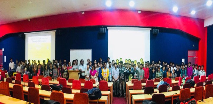
Expert Lecture on Application of Remote Sensing and GIS in Surveying by Prof. Karthik Nagarajan for second year students

Department
Civil Engineering