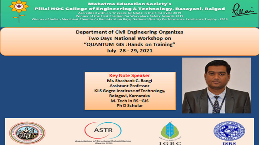
Department of Civil Engineering conducted 2 Days Workshop on “QGIS: Hands on Training” on 28th and 29th July, 2021 at 4:00 p.m. to 7:00 p.m. Total 380 participants has registered in the workshop and around 202 has attended from Gujrat, Andhra Pradesh, Telangana, Tamilnadu, Madhya Pradesh, Uttar Pradesh, Orisa, West Bengal, Amravati, Pune, Kolhapur, Nashik, Bhandara, Chandrapur, Nagpur, Delhi, Durg, Shopian (192303), Jammu and Kashmir, Sausar (M.P.), Hyderabad, Kanpur (Uttar Pradesh), Banglore, Belgam, Laxmeshwar (Karnatakka), Chhattisgarh,(Madhya Pradesh), Gujarat, Akola, Wardha, Dhule, Beed, Aurangabad, Lucknow, Chennai, Ahmedabad, Bengaluru, Thane, Navi Mumbai and Mumbai participated in this workshop. Participants were from different sectors viz several Institute faculty of various engineering and other streams like M.B.A. (NICMAR), Architecture, M.Tech. and Ph.D. students from all over India, Government sectors (Irrigation Department Kokan Bhavan), Practising Engineers and Architects, Contractors, Art, Science Commerce colleges and Industries.
Platform
Co-ordinator
Department
Zoom Cloud Meeting App
Ms. Manisha Jamgade
Civil Engineering
Objective of the Workshop:
This workshop aims to provide a comprehensive knowledge on geographic information system using open-source GIS platform (QGIS) for data collection, data management and mapping.
The two-day workshop is structured in module having different levels of difficulty that can help the student in learning the general concepts of a Geographical Informational System and practices in the real world. The modules include are:
Workshop Contents
28th July, 2021 (4:00 p.m. – 7:00 p.m.)
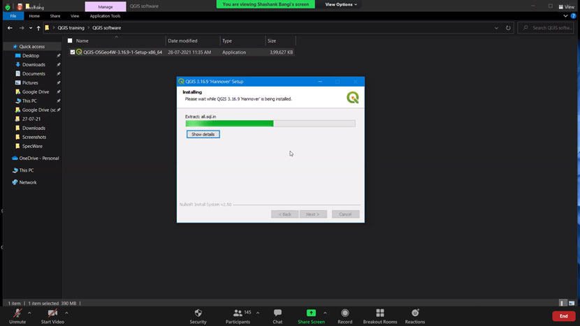
- How to download Q.GIS
- How to download Topographical Map
- How to download Satellite image
- How to create Elevation profile i.e. DEM modal
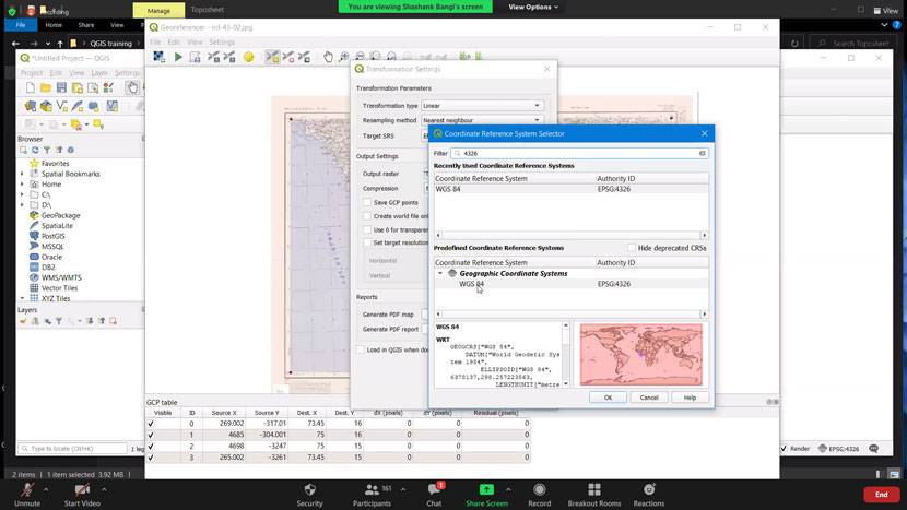
- How to Georefrence Map
- Discussion
29th July, 2021 (4:00 p.m. – 7:00 p.m.)
- Digitalization the Map
- By using – Point, line and Polygon tools
- Snapping tool work
- GPS Photo map
- Map Output
- Discussion
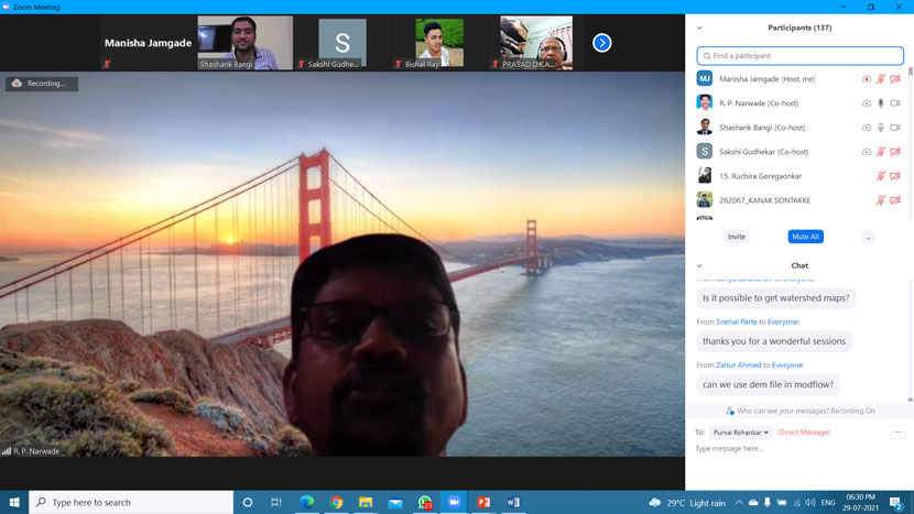
The theme was explained by Ms. Manisha Jamgade, workshop coordinator for this event followed by review of workshop and introduction of our institute and its mission and vision by Mr. Raju Narwade, Head of Civil Engineering Department.

Mr. Shashank C. Bangi during explanation “QGIS: Hands on Training”
Session Photos during Workshop


Glimpse of Verbal Feedback of the Workshop
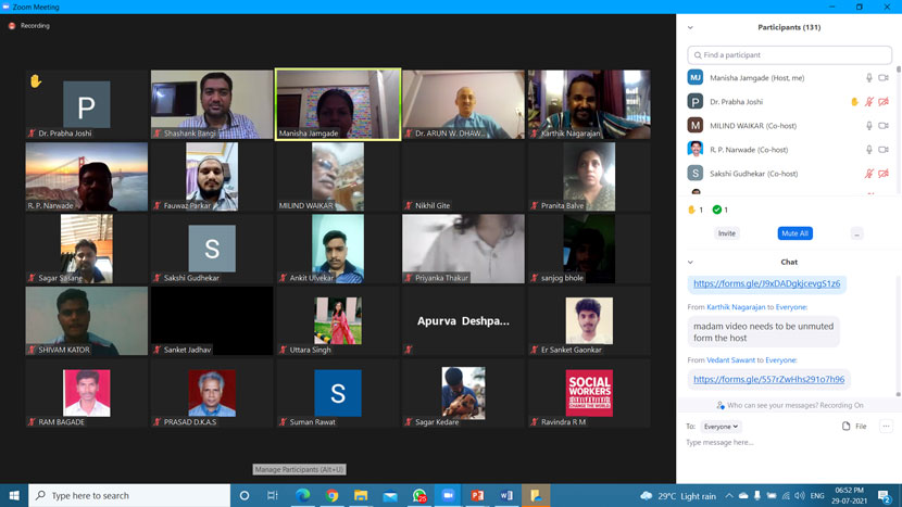
Participants Screenshot
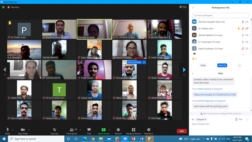
Participants Screenshot
Mr. Shashank C. Bangi is B.E. in Civil Engineering from Basaveshwar Engineering College, Bagalkot, M.Tech. in Remote Sensing and GIS from National Institute of Technology Karnataka (NITK), Surathkal. Currently he is doing his Ph.D. research work on “Estimation of Actual Evapotranspiration by using Surface Energy Balance based on Remote sensing Techniques” under Visvesvaraya Technological University, Belagavi. His teaching and research interests include Remote Sensing, Geographical Information System, Advanced surveying and Water resources. He has taught various subjects at UG level in the field of Surveying, Remote Sensing and GIS Sir has epertise in various GIS softwares such as GIS: ArcGIS, Quantum GIS, GRASS, SAGA GIS, Global Mapper, Google Earth. Remote Sensing softwares : Erdas Imagine, LPS, Envi. Surveying: Total station, GPS, DGPS, Esurveying, Mobile mapping. Ground Water Modeling: Visual MODFLOW. Planning and Design: AutoCAD, Sketchup, 3DS Max, ETABS. Sir has given various invited talks on RS GIS, Surveying, Total station, GIS, GPS and Mapping.
Mr. Shashank C. Bangi explained the various modules of QGIS Session as per session module. He explained in a simple manner so that participants can understand use of QGIS online easily. The session was followed by question-answers where the speaker cleared the doubts of the participants. The workshop concluded with vote of thanks given by event coordinator Ms. Manisha Jamgade and other participants of the event. The webinar was productive as the participants expanded useful ideas for extended by the speaker.


