Department of Civil Engineering conducted an International Workshop on “Application of Remote Sensing and GIS for Sustainable Development in Engineering” on 13th and 14th January, 2020. The workshop started with traditional lamp-lighting ceremony and a welcome address by Mr. Raju Narwade, Head of the Civil Engineering Department.
Venue
Convener
Department
Conclave-I, PHCET
Mr. Raju Narwade
Civil Engineering
The main objective of the workshop was to explore and discuss the techniques of remote sensing and GIS which has many applications for sustainable development in rural and urban areas in the field of surveying (topographic / cadastral / natural resources etc.), construction (urban / rural / municipal / infra-structure / materials etc.), transportation (roads / bridges / traffic etc.), water resources (water supply / treatment / canals / dams / storm / sewers etc.), environment (chemical and biological waste / pollution impact / remedy / resource-management / public-health etc.), geological (rock soil mechanics / earthquake engineering etc.) and coastal (erosion / flood / defence / hydro-dynamics etc.) GIS greatly enhances the optimum use of land, the functional efficiency of a proposed design, its marketability etc. GIS is a powerful tool in the management of spatial information. The primary advantage of using GIS as a database for transportation data is the fact that GIS can integrate the spatial data and display the attribute data in a user-chosen format.
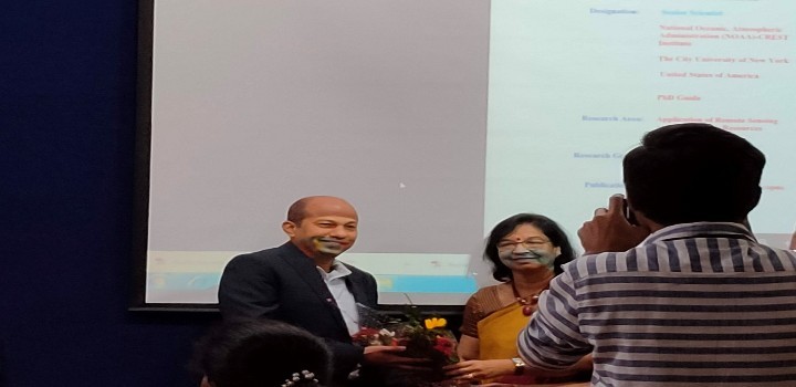
Dr. Lata Menon (Dy., CEO, HOCL Campus) welcomed keynote speaker Dr. Tarendra Lakhankar (Senior Scientist, NOAA-CREST Institute), The City University of New York, United States of America
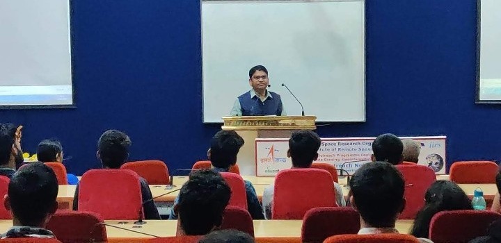
Dr. Tarendra Lakhankar delivering a seminar
Dr. Tarendra Lakhankar delivering a seminar
Dr. Tarendra Lakhankar delivering a seminar

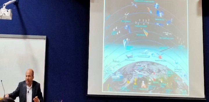
Dr. Tarendra Lakhankar delivered a Seminar on "Application of Satellite Remote Sensing in Environmental Engineering and Water Resources Engineering"
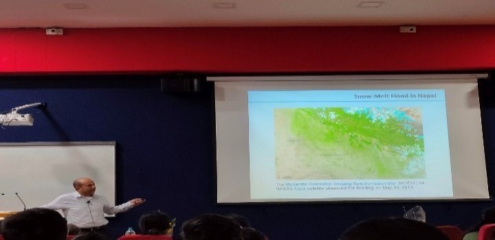
Dr. Tarendra Lakhankar delivered a Seminar on "Application of Satellite Remote Sensing in Environmental Engineering and Water Resources Engineering"
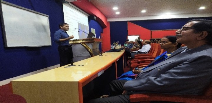
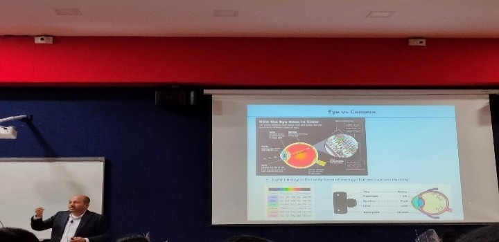
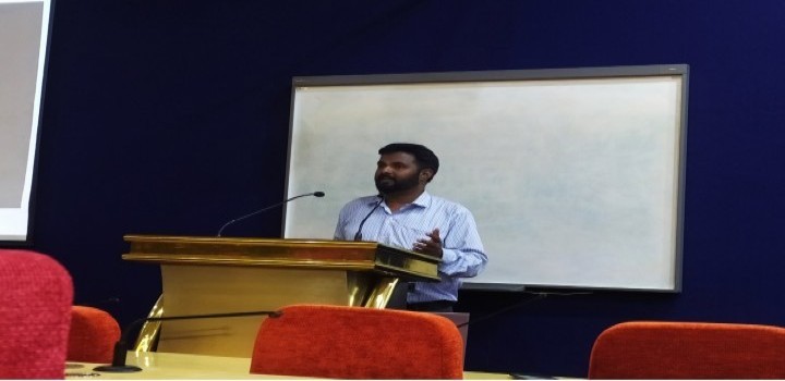
Dr. Priam Pillai, (Ph.D. - MIT United States of America), Professor in Mechanical Engineering Department, Pillai College of Engineering, New Panvel. He delivered a Seminar on "Studying Urban Growth using GIS and Remote Sensing"
Dr. Priam Pillai, (Ph.D. - MIT United States of America), Professor in Mechanical Engineering Department, Pillai College of Engineering, New Panvel. He delivered a Seminar on "Studying Urban Growth using GIS and Remote Sensing"
Dr. Priam Pillai, (Ph.D. - MIT United States of America), Professor in Mechanical Engineering Department, Pillai College of Engineering, New Panvel. He delivered a Seminar on "Studying Urban Growth using GIS and Remote Sensing"
Mr. Karthik Nagarajan, Associate Professor, Civil Engineering Department, PHCET, Rasayani. He delivered a Seminar on "Outreach Centre and ISRS Activities: Awareness towards RS and GIS".

Mr. Deepak Choksi, Associate Director: Bhugol GIS Pvt Ltd., Former Project Engineer (IIT Bombay). He delivered a Seminar on "Principles and Applications of GIS and Remote Sensing using GRAM ++ GIS".
Mr. Raju Narwade, (HoD and Associate Professor) Department of Civil Engineering, PHCET, Rasayani. He delivered a Seminar on "Impact Assessment in Climate Change using Remote Sensing and GIS".
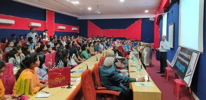
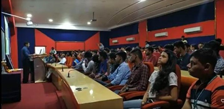
Around 200 participants from various polytechnic, architecture and engineering colleges attended the workshop, enriched their knowledge and skill in this field. The participants furnish positive feedback about the workshop. The workshop helped the participants to get well acquainted with various innovative approach and aspects of remote sensing and GIS and implementation in the real situations.
The keynote speaker for this international workshop was Dr. Tarendra Lakhankar, Senior Scientist, NOAA-CREST Institute, The City University of New York, United States of America. He delivered a seminar on Application of satellite remote Sensing in Environmental Engineering and Water Resources Engineering with the examples of practical case studies. Hands on training were also given to students which helped a lot for understanding the GIS software’s.


