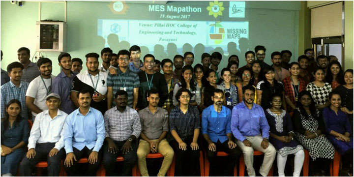
This Mapathon was conducted top assist in putting vulnerable people on map so that any Government or NGO can reach these people in crisis. This mapping event was an open, collaborative project in which participants helped out to map areas where humanitarian organizations are trying to meet the needs of vulnerable people.
Venue
Pillai HOC College of Engineering & Technology
The task for this Mapathon was assigned as a high priority area by the Missing Maps organization as described below.
- Violence in South Sudan since July 2016 has lead to a large population movement into the north of Uganda.
- 2,000 to 3,000 people cross the border into Uganda each day.
- It is vital that accurate and up-to-date mapping information is available to allow the Red Cross ERU to respond more effectively and efficiently.
- The maps that you create in this task will enable sanitation facilities – including latrines, hand washing points and hygiene promotion activities – to be effectively provisioned for the people living there.
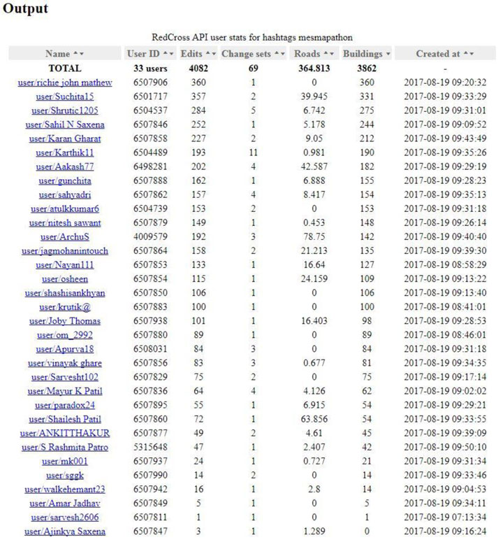
No prior knowledge or experience of mapping was required. Training and warm snacks were sponsored by Mapbox Inc and provided during the event. Transportation was sponsored by Mahatma Education Society (Pillai Group of Institutions). The pictures on the following pages represent the training, participation, output and recognition conducted during the event. The MES Mapathon 2017 event resulted in maps for 3862 buildings and 365 km roads for the assigned area to be used on site by organizations including the Red Cross, Medecins Sans Frontieres (MSF), Hotosm and Missing Maps.


